Zimbabwe map quiz
Explore cities and landmarks of Zimbabwe!
Quizzes in this pack
Zimbabwe: cities, landmarks.
| Cities | 7 questions |
| Landmarks | 8 questions |
Sample questions
- The capital and largest city on the northern highveld plateau, formerly called Salisbury under British colonial rule
- Answer: Harare
- Second-largest city in the southwest, former capital of the Ndebele kingdom, railway hub of southern Africa
- Answer: Bulawayo
- Eastern city near the Mozambican border in the scenic Eastern Highlands, gateway to the Vumba Mountains
- Answer: Mutare
- Central city midway between Harare and Bulawayo, Zimbabwe's third-largest, with military air force base
- Answer: Gweru
- Satellite city south of Harare, Zimbabwe's third most populous urban area, a residential dormitory town
- Answer: Chitungwiza
Learn more
Harare
North-eastern Zimbabwe
Harare, the capital of Zimbabwe, was founded in 1890 as a fort by settlers from the British South Africa Company and was called Salisbury until 1982. Like Pretoria, it turns purple every spring when the jacaranda trees along its streets flower.
- Founded
- 1890
- Did you know?
- Harare lies about 1,490 metres above sea level, so it is mild all year
Mutare
Eastern Highlands, by Mozambique
Mutare lies in a valley of the Eastern Highlands, right on the border with Mozambique, and is Zimbabwe's gateway to the port of Beira. Green mountains surround the town, with the cool Bvumba hills and the Nyanga range close by.
- Known for
- The Eastern Highlands, the border, the road to Beira
Chitungwiza
South of Harare
Chitungwiza is a large town just south of Harare, built in the 1970s as housing for workers in the capital. It has grown into one of the biggest towns in Zimbabwe, and every morning crowded minibuses carry its people to work in Harare.
- Known for
- Minibuses, workers, its size
Great Zimbabwe
Near Masvingo
Great Zimbabwe was the capital of a great trading kingdom from about the 1000s to the 1400s, the largest stone ruins in Africa south of the Sahara. Its walls, up to 11 metres high, were built of granite blocks fitted together without mortar, and the country is named after it.
- Walls
- Up to 11 m high
- Did you know?
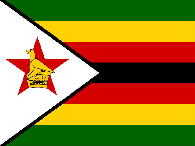
- A soapstone bird found here is on the flag of Zimbabwe
Matobo Hills
Near Bulawayo
The Matobo Hills south of Bulawayo are a landscape of granite domes and balancing boulders, some stacked as if by giants. The San left thousands of rock paintings in their caves, and the hills are home to many leopards and black eagles.
- Did you know?
- Cecil Rhodes is buried on a hilltop here, at World’s View
Mana Pools
Zambezi Valley
Mana Pools is a floodplain along the Zambezi in northern Zimbabwe, named after four pools left by the river's old channels. Elephants stand on their hind legs to reach the seed pods of the trees, and visitors are allowed to walk without a guide in some areas.
- Did you know?
- Mana means “four” in Shona
How it works
Pick a quiz, then find, name or choose your answer on the 3D globe. A round has 10 questions by default, or more, up to the whole quiz. Each round picks what you need most: questions due again, new ones and the places you tend to mix up. In a short round, the questions you miss are asked once more at the end. Spaced repetition then brings them back on later days until you know them.
Every round also fills your mastery badges for the continent or country, the topic and the whole world: bronze at 50%, silver at 80% and gold at 100%.