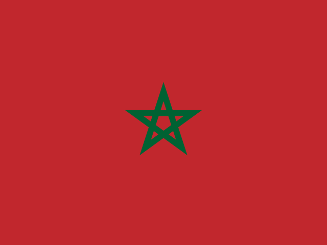
Morocco map quiz
Explore the cities and mountains of Morocco!
Quizzes in this pack
Morocco: cities, mountains.
| Cities | 8 questions |
| Mountains | 4 questions |
Sample questions
- The capital on the Atlantic coast, at the mouth of the Bou Regreg river, UNESCO World Heritage
- Answer: Rabat
- Largest city, economic capital with the Hassan II Mosque, one of the largest in the world
- Answer: Casablanca
- The Red City at the foot of the Atlas Mountains, famous for the Jemaa el-Fna square
- Answer: Marrakech
- Oldest imperial city, home to the world's oldest university (al-Qarawiyyin, 859 AD) and a vast medieval medina
- Answer: Fez
- Northern port city at the entrance to the Strait of Gibraltar, gateway between Africa and Europe
- Answer: Tangier
Learn more
High Atlas
Central Morocco, south of Marrakesh
The High Atlas is the highest part of the Atlas Mountains, a snowy wall that can be seen from Marrakesh. Amazigh villages of red earth sit in its valleys, and the Tizi n'Tichka pass carries the road over the mountains to the Sahara side.
- Highest point
- Toubkal, 4,167 m
- Did you know?
- Toubkal is the highest mountain in North Africa, and most hikers climb it in two days from the village of Imlil
Middle Atlas
Central Morocco
The Middle Atlas runs through central Morocco between Fes and the High Atlas. Its plateaus have the largest cedar forests in North Africa, and the town of Ifrane, with its Alpine-style houses, is often called the Switzerland of Morocco.
- Highest point
- Jbel Bou Naceur, 3,340 m
- Did you know?
- Barbary macaques live in the cedar forests near Azrou
Anti-Atlas
Southern Morocco, toward the Sahara
The Anti-Atlas is the southernmost range of the Atlas Mountains, between the Souss valley and the Sahara. Its rocks are among the oldest in Morocco, and around Tafraoute pink granite boulders and almond trees fill the valleys.
- Highest point
- Jbel Sirwa, 3,304 m
- Did you know?
- Argan trees, whose nuts give an oil used in cooking and skin care, grow wild almost only in southwestern Morocco
Rif Mountains
Northern Morocco, along the Mediterranean
The Rif is a curving range of steep, forested mountains along Morocco's Mediterranean coast. In its hills lies Chefchaouen, known for houses and lanes painted in shades of blue, and the people of the Rif speak their own Amazigh language, Tarifit.
- Highest point
- Jbel Tidirhine, 2,456 m
- Did you know?
- Geologically the Rif belongs with the mountains of southern Spain, not with the Atlas: together they form an arc around the Alboran Sea
How it works
Pick a quiz, then find, name or choose your answer on the 3D globe. A round has 10 questions by default, or more, up to the whole quiz. Each round picks what you need most: questions due again, new ones and the places you tend to mix up. In a short round, the questions you miss are asked once more at the end. Spaced repetition then brings them back on later days until you know them.
Every round also fills your mastery badges for the continent or country, the topic and the whole world: bronze at 50%, silver at 80% and gold at 100%.