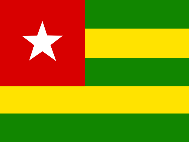
Togo map quiz
Explore the cities of Togo!
Quizzes in this pack
Togo: cities, landmarks.
| Cities | 8 questions |
| Landmarks | 8 questions |
Sample questions
- Capital and largest city on the Gulf of Guinea coast, right on the border with Ghana, known for the Grand Marché, the iconic Lomé Cathedral, and a lively waterfront
- Answer: Lomé
- Second-largest city in the central region, a major crossroads town on the north-south highway, home to the Tem people and known for the Gadao festival of traditional wrestling
- Answer: Sokodé
- Third-largest city in the north, political heartland and hometown of former president Gnassingbé Eyadéma, known for the Kozah mountains and the Evala wrestling initiation ceremony
- Answer: Kara
- Hill town in the Plateaux Region built on seven hills, a former German colonial administrative centre on the railway line, known for its cooler climate and cotton production
- Answer: Atakpamé
- Northernmost city and capital of the Savanes Region near the borders with Burkina Faso and Ghana, a dry savanna trading centre with a lively regional market and nearby rock paintings
- Answer: Dapaong
Learn more
Lomé
Atlantic coast, by the border with Ghana
Lomé, the capital of Togo, lies on the coast, right on the border with Ghana: the city ends where the other country begins. A long beach road runs along the sea, and the city's port is one of the busiest in West Africa.
- Did you know?
- The coast of Togo is only about 56 km long
Kara
Northern Togo, on the Kara River
Kara lies on the Kara River in northern Togo and grew from a small village into the main town of the north. It is the land of the Kabye, and every July young men gather for Evala, a wrestling festival that marks their passage into adulthood.
- Known for
- The Evala wrestling, the Kabye, the river
Kpalimé
Green hills near Ghana
Kpalimé lies among green, forested hills near the border with Ghana, where coffee and cocoa grow. Mount Agou, at 986 metres the highest point in Togo, rises just outside the town, and the forests around it are known for their butterflies and waterfalls.
- Known for
- Mount Agou, coffee and cocoa, butterflies
Koutammakou
Kara Region
Koutammakou, in north-eastern Togo, is the land of the Batammariba people, whose two-storey mud tower houses, takienta, look like small castles. The landscape has houses, fields and sacred places.
- Did you know?
- Batammariba means “those who shape the earth”
Mount Agou
Plateaux Region
Mont Agou, about 986 metres, is the highest point in Togo, in the forested hills of the Plateaux Region near the border with Ghana. Coffee, cocoa and bananas grow on its slopes, and from the top you can see Lake Volta on clear days.
- Height
- About 986 m
Lake Togo
Near Lomé
Lake Togo is a lagoon east of Lomé, separated from the sea by a strip of sand. People sail and fish on it, and pirogues take visitors across to Togoville on the far shore.
- Area
- About 64 km²
How it works
Pick a quiz, then find, name or choose your answer on the 3D globe. A round has 10 questions by default, or more, up to the whole quiz. Each round picks what you need most: questions due again, new ones and the places you tend to mix up. In a short round, the questions you miss are asked once more at the end. Spaced repetition then brings them back on later days until you know them.
Every round also fills your mastery badges for the continent or country, the topic and the whole world: bronze at 50%, silver at 80% and gold at 100%.